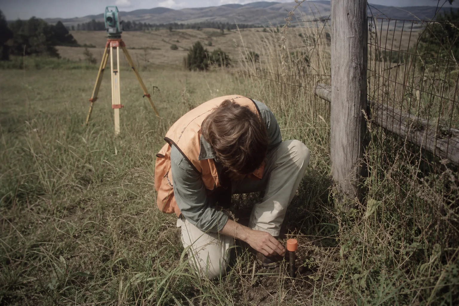
If you are buying a parcel where the fence does not match the deed, you need a boundary survey with monuments set, and nothing cheaper will substitute. A mortgage location drawing will not settle an encroachment. A topographic map will not tell you where the line is. The four products that get casually called "a survey" answer four different questions, and the single most expensive mistake buyers make is paying for the wrong one and then paying again six weeks later when the builder or the title company sends it back.
Take the narrow case and work it through: eleven acres, rural, an old wire fence that wanders, one corner pin that someone found in 1998, a barn you want to keep, and a house site on a slope. That property will generate three different quotes with a 4x spread between them, and all three may be honest.
The four products, and who actually requires each
A boundary survey establishes where the legal lines run. The surveyor researches the deed and the deeds of every adjoiner, reconciles the calls against what is physically on the ground, recovers whatever monuments survive, sets new ones where they do not, and signs a plat. This is what you need before you build a fence, sell off a piece, or resolve a dispute with the neighbor whose shed is three feet over.
A mortgage location drawing (names vary by state) is a much lighter product: it shows improvements in relation to the record lines so a lender and title underwriter can see nothing obvious is amiss. It is not a boundary determination. In several states it carries explicit language saying so. Buyers see the low price and assume they have bought a boundary survey. They have not.
A topographic survey maps elevation, drainage, trees, utilities and existing structures. This is the one your architect and your septic designer want. On a sloped house site it is not optional, because the foundation design, the driveway grade and the leach field layout all depend on it.
An as-built or improvement survey documents what got constructed, usually for the building department or final loan draw.
On the eleven acres, you likely need two of these: boundary, because the fence wanders, and topographic over the three or four acres you intend to touch. You do not need topo over all eleven, and ordering it that way is how a reasonable job becomes an expensive one.
What the invoice is actually made of
Almost none of a boundary survey price is the plat. It is hours, split between the office and the field.
Research comes first. Someone sits at the county recorder pulling the chain of title for your parcel and every parcel that touches it, plus old plats, road right-of-way maps and any prior surveys. A clean platted subdivision lot might take an hour. A metes-and-bounds rural tract described in 1911 with calls to a white oak and a stone pile can take a day or more, and that day is on your bill whether or not the oak is still standing.
Then field work. The drivers are blunt: total perimeter length, not acreage; vegetation; terrain; how many monuments survived; and travel time from the office. A long narrow parcel costs more than a square one of the same size. A perimeter through greenbrier and multiflora rose can double the crew hours against the same line through pasture. If four corners are lost, the crew has to search, then set new ones, and lost-corner work is open-ended by nature.
Then the office again: computations, resolving the gaps and overlaps between your deed and the adjoiner's, drafting, a licensed surveyor's review and seal, and often recording the plat. Expect the drawing itself to be a small slice of the total.
Where aerial work changes the arithmetic
Topography is where the cost structure has genuinely shifted. Mapping four acres of sloped ground with a total station and a rod is a two-person day or more. Flown photogrammetry or lidar with ground control can cover the same ground in a fraction of the field time and return a far denser surface model, which your septic designer and grading contractor will both prefer. Ask whether the firm flies in-house or subcontracts to a drone surveying company, because the answer changes scheduling more than it changes price. The Federal Aviation Administration regulates commercial drone operation, and a crew that holds its own certifications can fly the morning the weather opens rather than waiting on a third party's calendar.
What aerial work does not do is find your corners. Vertical accuracy depends on ground control that someone still has to set and shoot. Under a closed canopy, photogrammetry sees treetops. And a boundary is a legal conclusion drawn by a licensed professional from evidence and record, not a thing a camera can observe. Use the flight for surface and volume. Use boots for the line.
The week-to-week reality of getting it done
Survey firms schedule in weeks, not days, and the backlog moves with the season. Leaf-off, roughly late fall through early spring in most of the country, is prime time for rural boundary work: better sight lines, less brush, easier monument recovery. It is also when everyone else wants it. Summer brings heat, ticks, snakes and vegetation that slows a crew measurably.
Weather does not cancel a field day so much as shorten it. Crews stack jobs geographically, so your parcel gets worked the week the crew is in your township, which is why a firm forty miles away may quote lower than one ten miles away.
Research is the step that stalls. If the county records are partly digitized and partly not, or an adjoining deed is ambiguous, the file sits while someone chases it. The useful thing you can do is hand over your title commitment, your deed, any prior plat you were given at closing, and the names of neighbors willing to talk about what the fence meant. Every one of those shortens office hours, and office hours are billable.
How to buy it
Get the scope in writing before you accept a price. Specify: boundary with monuments set and plat recorded; topographic coverage limited to a defined area with a stated contour interval; deliverables as both sealed PDF and a CAD or point-cloud file your designer can open. Ask what happens to the fee if corners turn out to be lost, and ask whether the quote is fixed or an estimate against hourly rates. Most firms will tell you plainly which one they are giving you.
On the eleven acres, the sequence that works is research first, boundary field work in leaf-off, flight for topo once the house site is chosen, and the as-built at the end. Ordered that way, each step pays for the next one's accuracy, and the neighbor conversation happens with a signed plat in hand instead of a guess.